Trustindex verifies that the original source of the review is Google. Amazing works have used this company for 3 years, always delivers above expectations.Trustindex verifies that the original source of the review is Google. Fantastic work , very quick fast turn around , drawings are easy to understand , overall i'm very pleased and would highly recommend this serviceTrustindex verifies that the original source of the review is Google. Absolutely delighted with their service! Arrived thr next day and had the survey done after the weekend! We will definitely be using them again.Trustindex verifies that the original source of the review is Google. We recently hired Borna Surveys for measured building surveys on a couple of our properties, and we couldn’t be more pleased with the service. They promptly scheduled our survey for the very next day and arrived with a state-of-the-art laser scanner. The level of detail in the survey was truly impressive—far exceeding our expectations. Not only were they thorough and professional, but their pricing was also very reasonable, and they delivered results within the promised timeframe. We are extremely satisfied with Borna Surveys and will definitely use their services again in the future. Highly recommended!Trustindex verifies that the original source of the review is Google. AwesomeTrustindex verifies that the original source of the review is Google. We used Borna's setting out engineer to set out a new build house. Prompt, friendly and professional service from start to finish. Would highly recommend Thanks Karman! Colin Smith Project ManagerTrustindex verifies that the original source of the review is Google. We have hired john for some issues regarding boundery wall , really happey with his services and prompt response . Great work done overall thanks Muhammad YasirTrustindex verifies that the original source of the review is Google. Kamran came to set out on our site he was very professional and accurate. We were very happy with his service and will be using Kamran on other site in the future.

Property boundary disagreement
A boundary dispute arises when there is a disagreement or conflict between parties, often property owners, regarding the precise location or demarcation of a physical or legal boundary, such as property lines or land limits. This dispute may involve disagreements over property ownership, use, or maintenance. Learn more about property boundaries from the UK government’s official land registry: Gov.uk – Boundary Disputes
How a boundary dispute surveyor can assist you?
- Boundary Determination:
- Boundary Agreement Drafting
- Dispute Resolution Services
- Expert Testimony
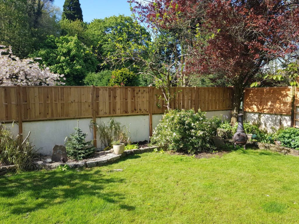

Average cost of boundary dispute
The average cost of a boundary dispute can vary widely depending on factors such as the complexity of the case, the extent of legal involvement, surveying expenses, and potential court fees. Costs may range from a few thousand to tens of thousands of dollars, considering surveyor fees, legal representation, and any associated court or settlement costs. It’s advisable to consult with a legal professional and a surveyor to get a more accurate estimate tailored to the specific circumstances of the dispute.
Boundary Disputes: What You Need to Know
Boundary disputes can be complex and often require careful examination. Moreover, they can lead to significant legal and financial consequences if not resolved properly. Therefore, understanding the key factors involved is crucial.
Common Causes of Boundary Disputes
Boundary disputes often arise due to unclear property lines, incorrect fence placements, or conflicting land deeds. For example, one property owner may rely on old documents, while another may have a recent survey showing different measurements. As a result, disagreements can escalate quickly.
FAQ
A Boundary Dispute survey helps clarify property boundaries, resolving disagreements between neighbors. Borna Surveys specializes in providing accurate surveys that establish and document property lines, offering a clear solution to boundary-related issues and preventing future disputes.
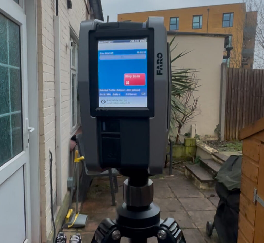
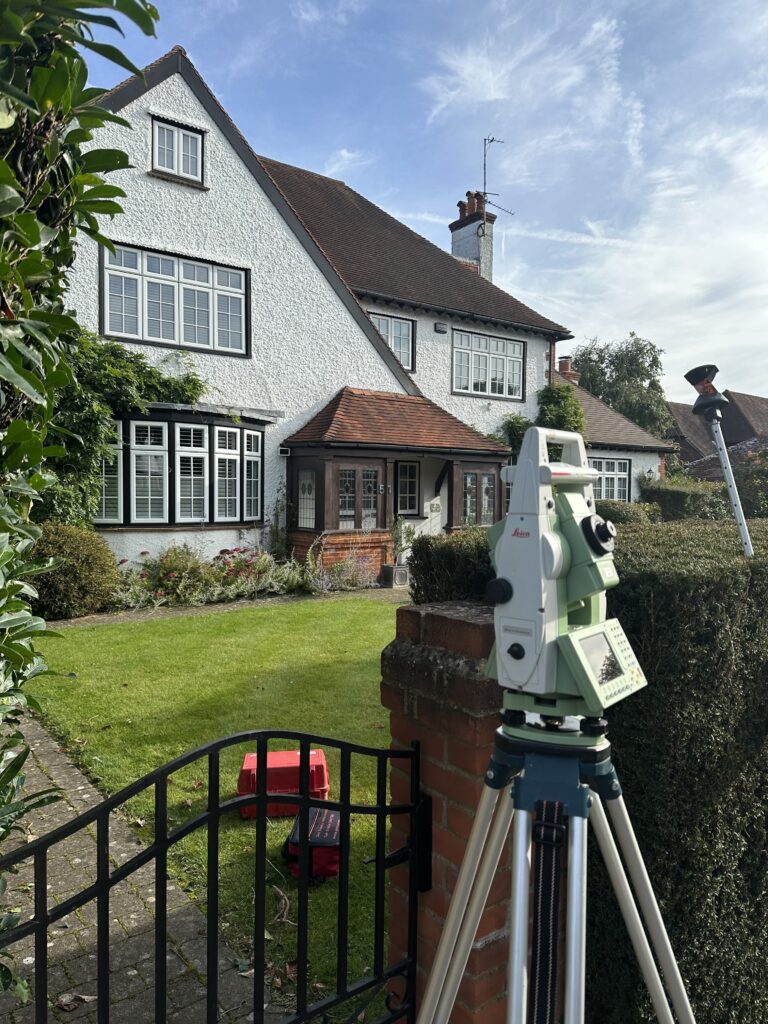
Our skilled surveyors employ a combination of historical research, legal documentation, and advanced surveying techniques. By analyzing deeds, maps, and physical evidence, we provide a comprehensive understanding of property boundaries, resolving disputes with precision and clarity.
Signs include disagreements with neighbors, unclear property markers, or planned construction near property lines. If you notice any of these, it’s advisable to consult with Borna Surveys promptly to assess the situation and, if necessary, conduct a Boundary Dispute survey to prevent escalation.
The duration depends on the complexity of the dispute and property size. Borna Surveys initiates with a consultation, followed by on-site surveys and research. We strive for a timely resolution, ensuring a comprehensive survey process to provide accurate and legally sound results.
While we are not legal professionals, our surveys provide valuable evidence in legal proceedings. Borna Surveys collaborates with legal experts if necessary, ensuring that our survey findings are presented effectively to support your case in resolving boundary disputes.
Why Choose Borna Surveys? We Guarantee
Accuracy and Precision:
We prioritise accuracy in every aspect of our work, ensuring that our clients receive reliable survey data for informed decision-making.
Timely Delivery:
Our efficient processes and advanced technology enable us to deliver survey results promptly, meeting your project timelines and deadlines.
Customised Solutions:
Recognising that each project is unique, we tailor our services to meet your specific requirements, providing personalised solutions that add value to your endeavors.
Experienced Professionals:
Our team of seasoned surveyors brings years of industry experience to the table, guaranteeing a high level of expertise in every project we undertake.
Client-Centric Approach:
We prioritize clear communication and collaboration, working closely with our clients to understand their needs and deliver results that exceed expectations.
Our Services
Get in Touch
phone
+44 800 054 1112
Business Hours
- Every day 9am – 8pm

