
Posted onTrustindex verifies that the original source of the review is Google. Company did some great work for my wife and I after we were unhappy with other surveyors. Worth the price Thank you.Posted onTrustindex verifies that the original source of the review is Google. Great work, just completed boundary dispute and measure building survey. The team is very professional and diligent. I recommend this companyPosted onTrustindex verifies that the original source of the review is Google. I had a great experience working with Borna Surveys. They carried out a measured building survey for me, including detailed plans, sections, and elevations, and the quality of their work was excellent. The team were professional, responsive, and very easy to work with throughout the process. The survey was delivered on time and to a very high standard, which made a real difference to my project. I would highly recommend Borna Surveys to anyone looking for reliable and accurate surveying services.Posted onTrustindex verifies that the original source of the review is Google. I recently used Borna Surveys for a measured building survey, and I am extremely pleased with the service provided. Kamran was professional, reliable, and very easy to communicate with throughout the process. The survey was carried out efficiently, and the final drawings and report were detailed, accurate, and delivered on time. The quality of work and attention to detail were excellent, and the price was very reasonable. I would not hesitate to recommend Borna Surveys to anyone needing a measured building survey or related services.Posted onTrustindex verifies that the original source of the review is Google. Kamran, at Borna surveyors, was very professional, polite , clear and concise. I received a very detailed report within days at a very reasonable price compared to others. I fully recommend using this company especially for a boundary survey.Posted onTrustindex verifies that the original source of the review is Google. Fantastic Survey and Services, have used this company time and time and have proven themselves every time. Highly recommend.Posted onTrustindex verifies that the original source of the review is Google. Used for setting out survey for foundations and come back again for brickwork setting the pins. Fantastic service and on timePosted onTrustindex verifies that the original source of the review is Google. ⭐️⭐️⭐️⭐️⭐️ So professional wow! Job done so smoothly and efficiently. Thank you 🙏🏽Posted onTrustindex verifies that the original source of the review is Google. Amazing works have used this company for 3 years, always delivers above expectations.Posted onTrustindex verifies that the original source of the review is Google. Kamran was quick to respond and did the survey as requested
Welcome to Borna Surveys, your trusted partner in precision and excellence in surveying. Our Subdivision Survey services are designed to meet the unique needs of developers, landowners, and municipalities seeking to divide or reconfigure parcels of land.
What is a Subdivision Survey?
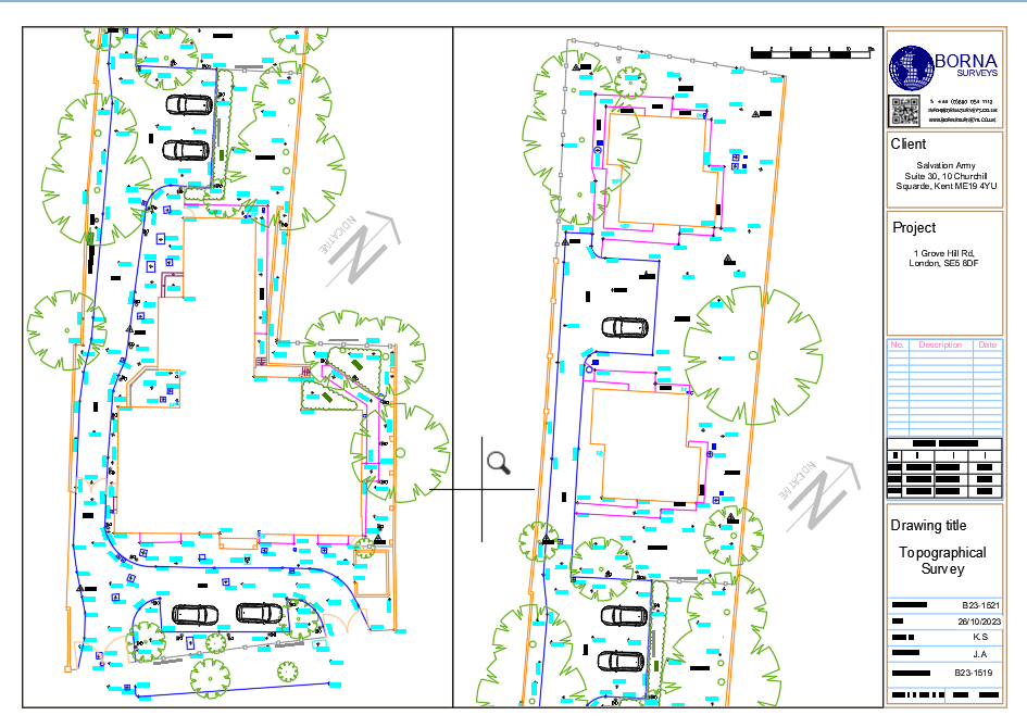
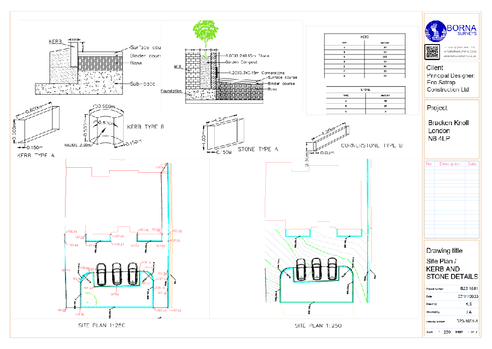
A Subdivision Survey involves the precise measurement, mapping, and division of land into smaller lots or parcels. Whether you’re planning a residential development, commercial project, or land division for investment purposes, our experienced team at Borna Surveys is here to provide accurate and reliable Subdivision Survey services.
Our Approach: Precision and Compliance
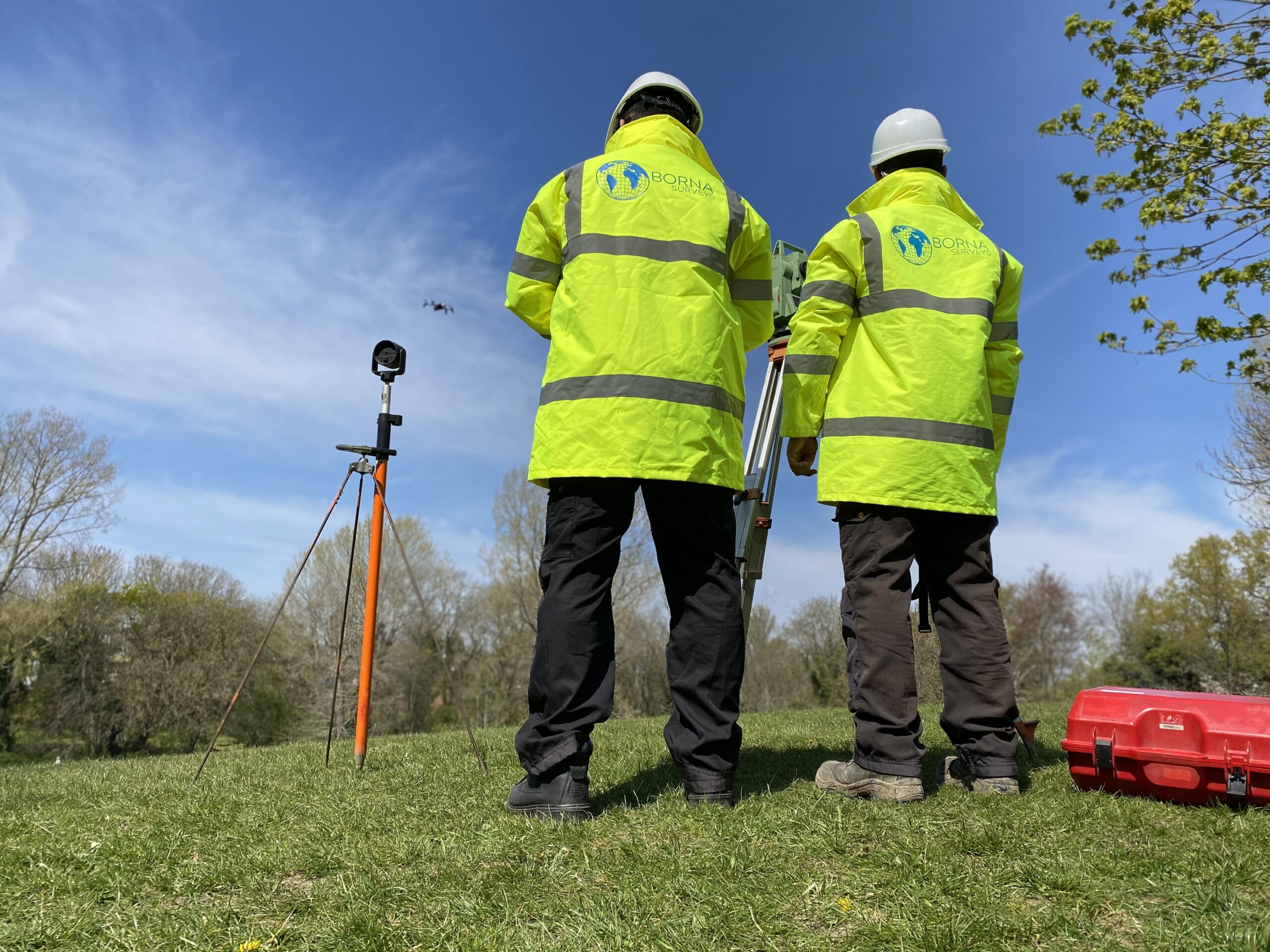
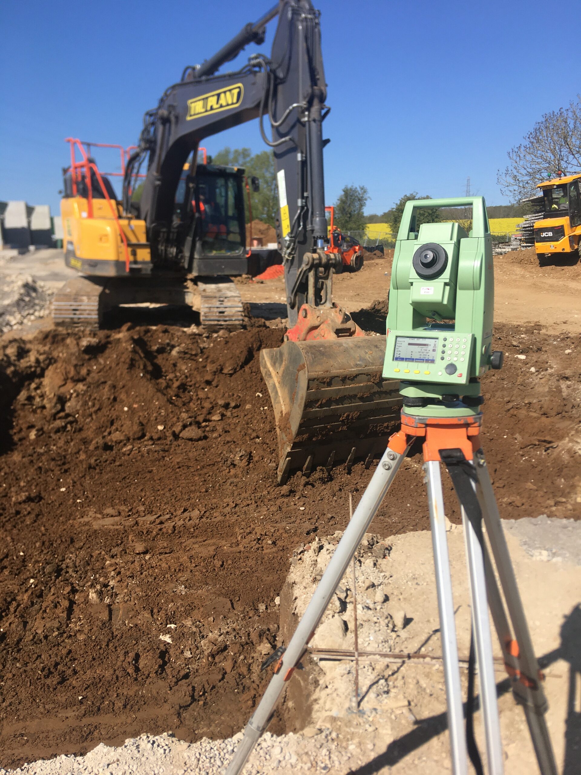
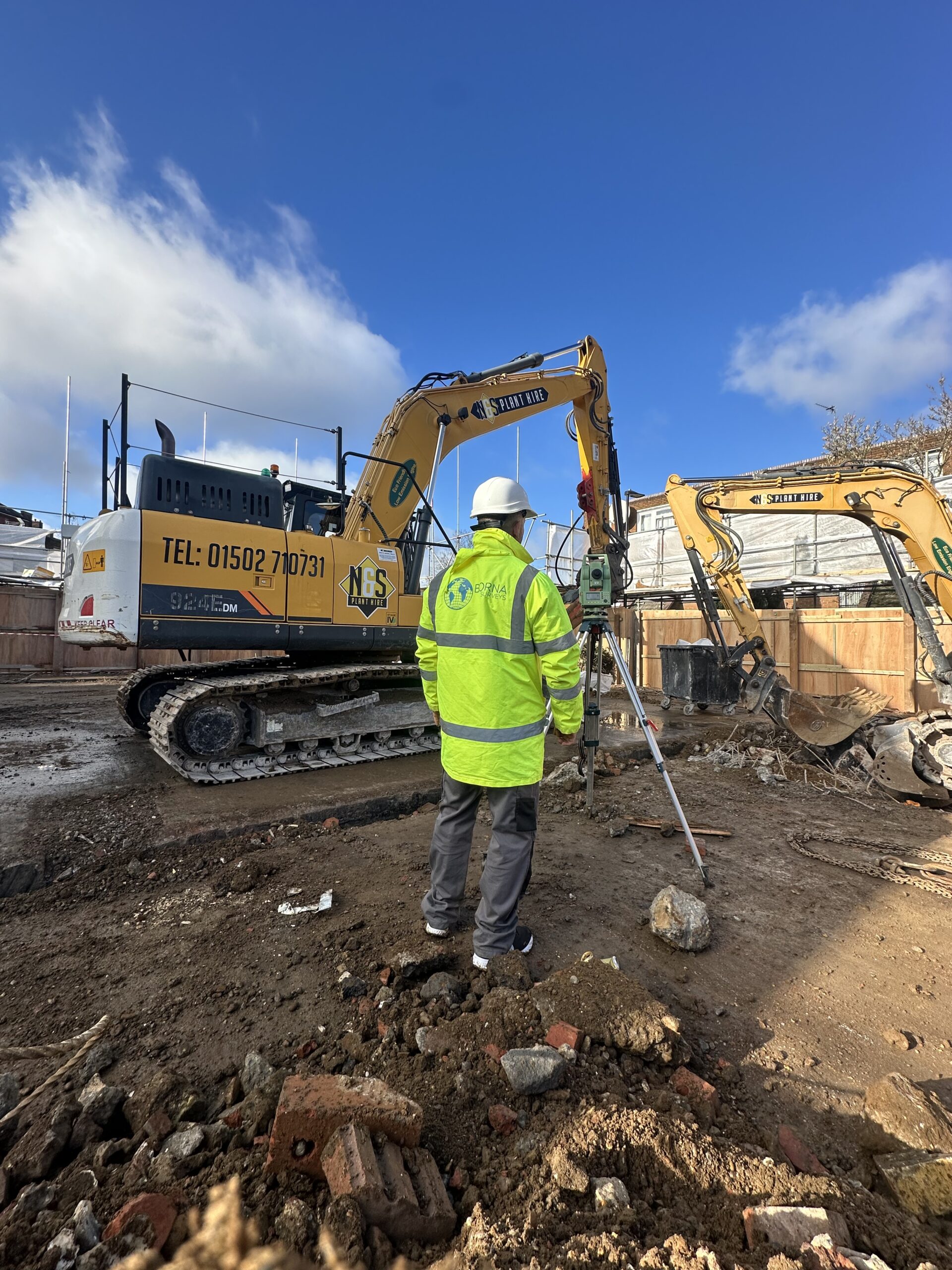
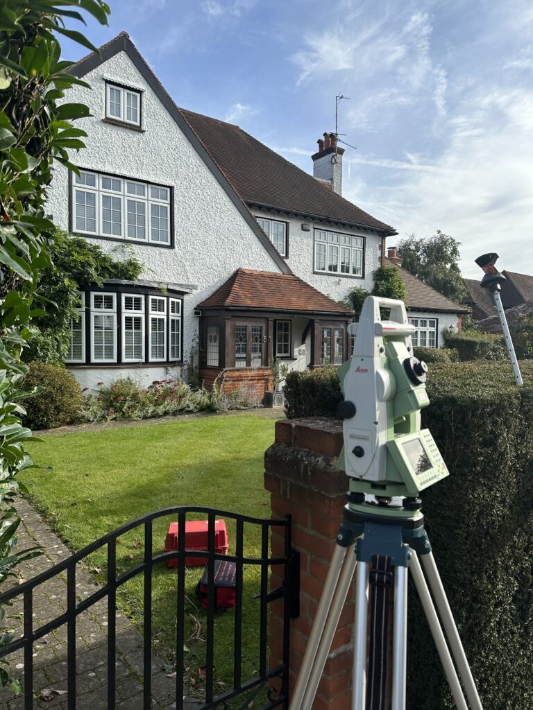
At Borna Surveys, we understand the importance of precision in land subdivision. Our surveyors utilize state-of-the-art equipment and advanced surveying techniques to ensure accurate boundary demarcation, lot layout, and compliance with local zoning regulations. We work closely with clients to understand their specific goals and objectives, tailoring our services to meet both regulatory requirements and project specifications.
Benefits of Our Subdivision Survey Services:
Legal Compliance:
Our Subdivision Surveys adhere to all relevant local, state, and federal regulations, ensuring that your project meets legal requirements.
Clear Documentation:
Borna Surveys delivers comprehensive survey documentation, including plat maps and legal descriptions, to facilitate a smooth approval process with regulatory authorities.
Optimized Land Use:
We strive to maximize the potential of your land by providing efficient lot layouts that balance aesthetics, functionality, and compliance.
Smooth Project Progression:
With accurate Subdivision Survey data in hand, your project can move forward seamlessly, minimizing delays and avoiding potential disputes over boundaries and land use.
Client-Centric Approach:
We prioritize open communication and collaboration with our clients. Our team is dedicated to providing personalized solutions that align with your vision and goals for the subdivided land.
Whether you’re a developer embarking on a new project or a landowner exploring subdivision possibilities, trust Borna Surveys for meticulous Subdivision Survey services. Our commitment to precision, compliance, and client satisfaction sets us apart as a leader in the surveying industry. Contact us today to discuss how our Subdivision Survey expertise can benefit your project.
Subdividing land Borna Surveys requires following a stringent process for approval and development. Subdivision involves dividing an existing parcel of land into two or more lots. This process creates a new Title for each new lot once registered with the Borna Surveys Land Registry Services (LRS). Depending on the type of development, there are several types of surveying, planning and engineering services involved.
FAQ
A Subdivision Survey is a detailed process of dividing a larger parcel of land into smaller lots or parcels. It is essential for property owners, developers, and municipalities to ensure legal compliance, efficient land use, and to facilitate proper development.
Borna Surveys employs advanced surveying techniques, including precise measurements and mapping, to determine accurate boundaries and lot layouts. Our team ensures compliance with local zoning regulations and works to optimize the use of the land.
Yes, Borna Surveys provides comprehensive documentation, including plat maps and legal descriptions, to support your subdivision application. We collaborate with regulatory authorities to facilitate a smooth approval process, ensuring your project complies with all relevant regulations.
The duration of a Subdivision Survey depends on the size and complexity of the project. Borna Surveys initiates the process by conducting a thorough site analysis, determining boundaries, creating lot layouts, and producing detailed documentation. We strive for timely completion to support your project timeline.
Borna Surveys brings expertise in precision surveying and a client-centric approach to Subdivision Survey services. Our team ensures legal compliance, optimized land use, and clear documentation, contributing to a smooth project progression with minimized delays and disputes. Trust us to make your subdivision project a success.
Why Choose Borna Surveys? We Guarantee
Accuracy and Precision:
We prioritise accuracy in every aspect of our work, ensuring that our clients receive reliable survey data for informed decision-making.
Timely Delivery:
Our efficient processes and advanced technology enable us to deliver survey results promptly, meeting your project timelines and deadlines.
Customised Solutions:
Recognising that each project is unique, we tailor our services to meet your specific requirements, providing personalised solutions that add value to your endeavors.
Experienced Professionals:
Our team of seasoned surveyors brings years of industry experience to the table, guaranteeing a high level of expertise in every project we undertake.
Client-Centric Approach:
We prioritize clear communication and collaboration, working closely with our clients to understand their needs and deliver results that exceed expectations.
Our Services


Get in Touch
phone
+44 800 054 1112
Business Hours
- Every day 9am – 8pm